GPS Tools
Version: 3.3.2.1
20.00MB
4.2
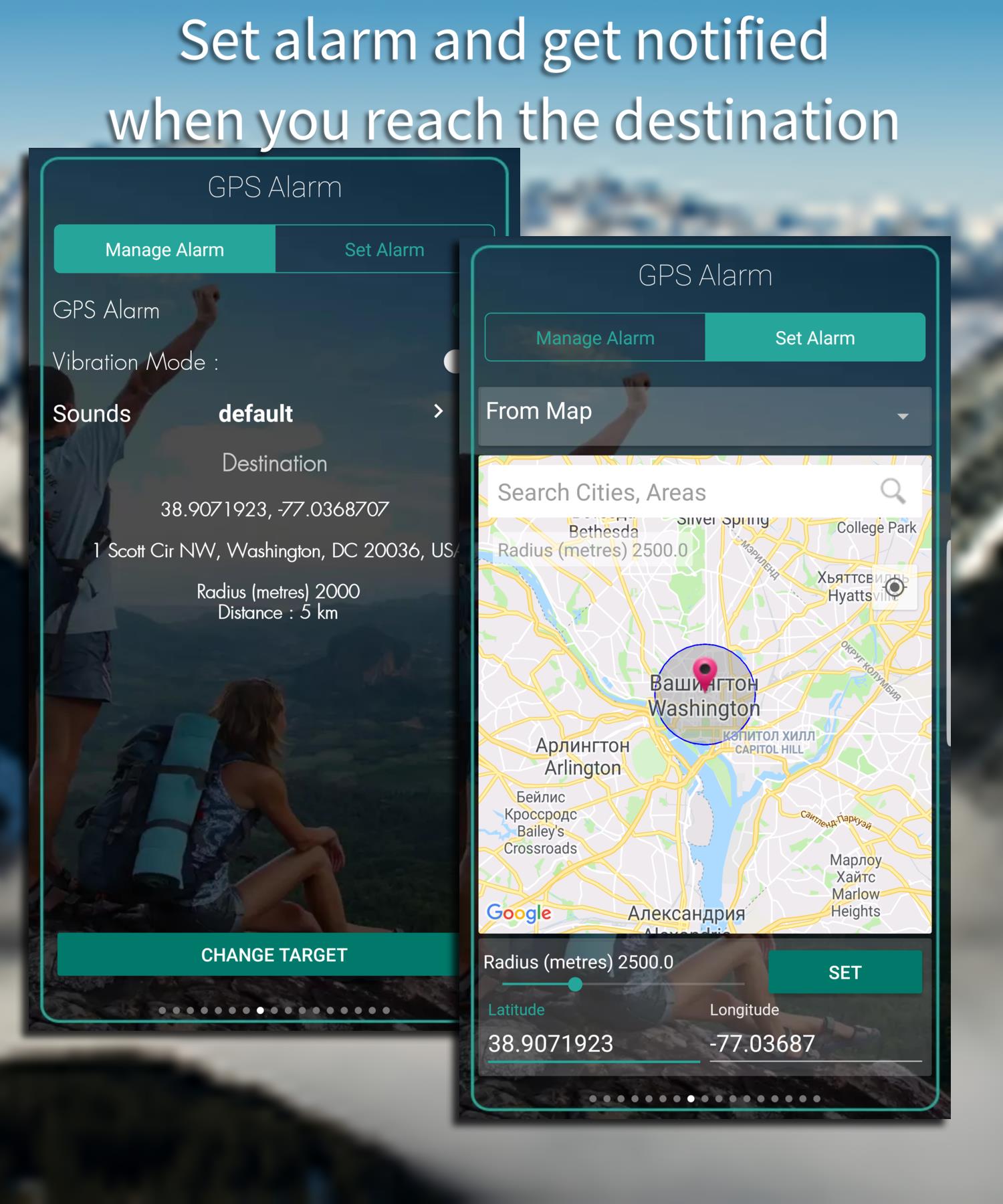
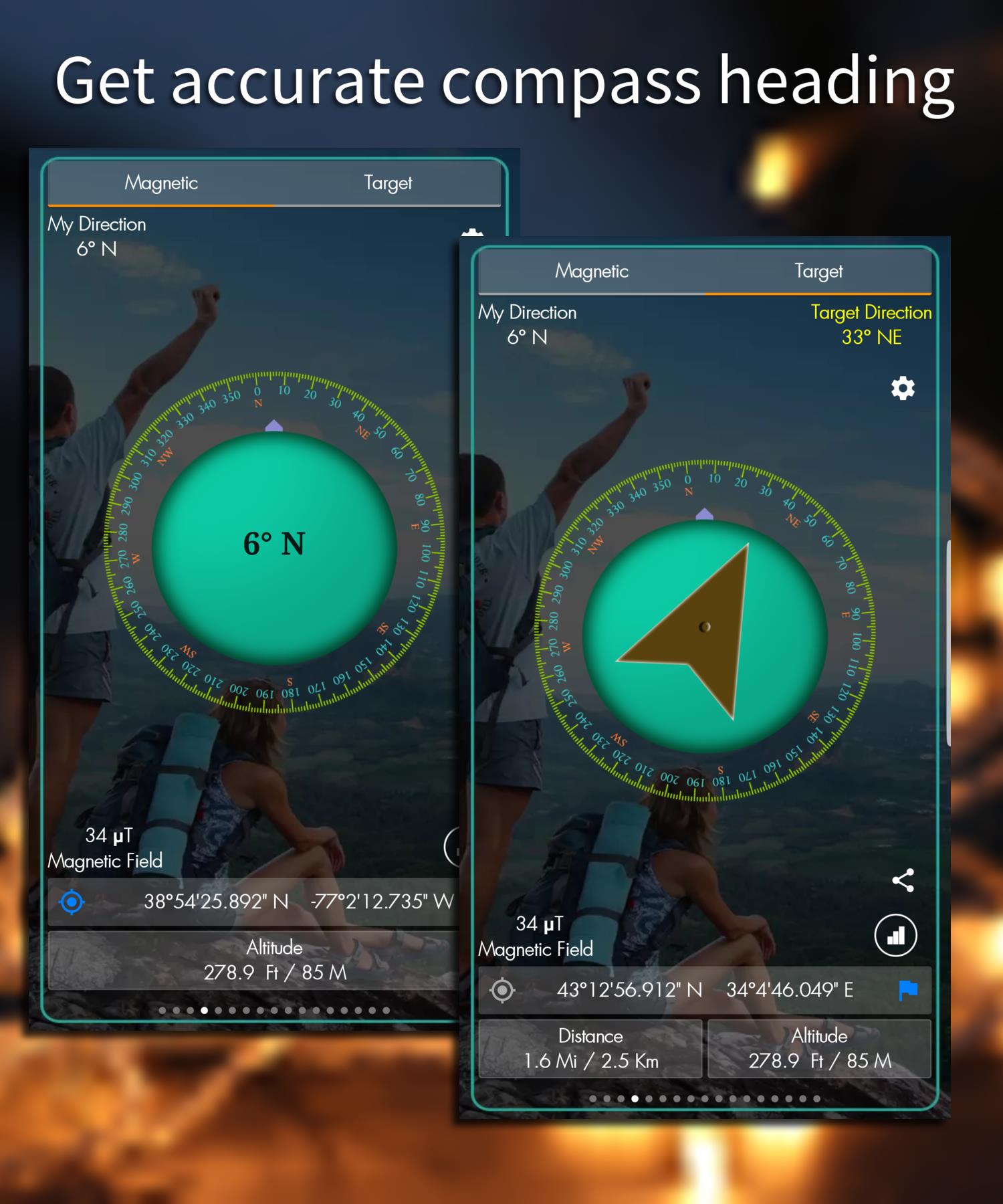
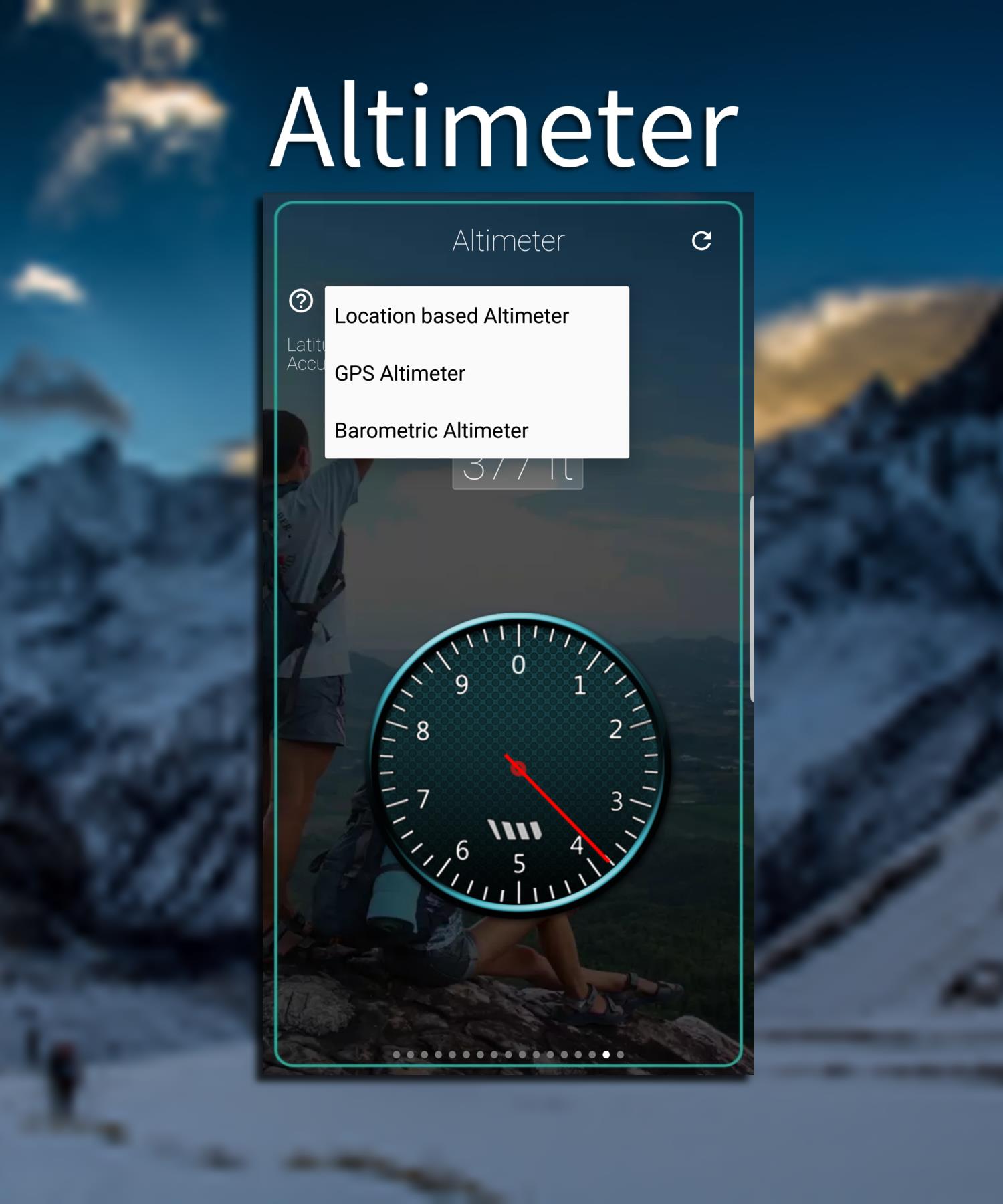
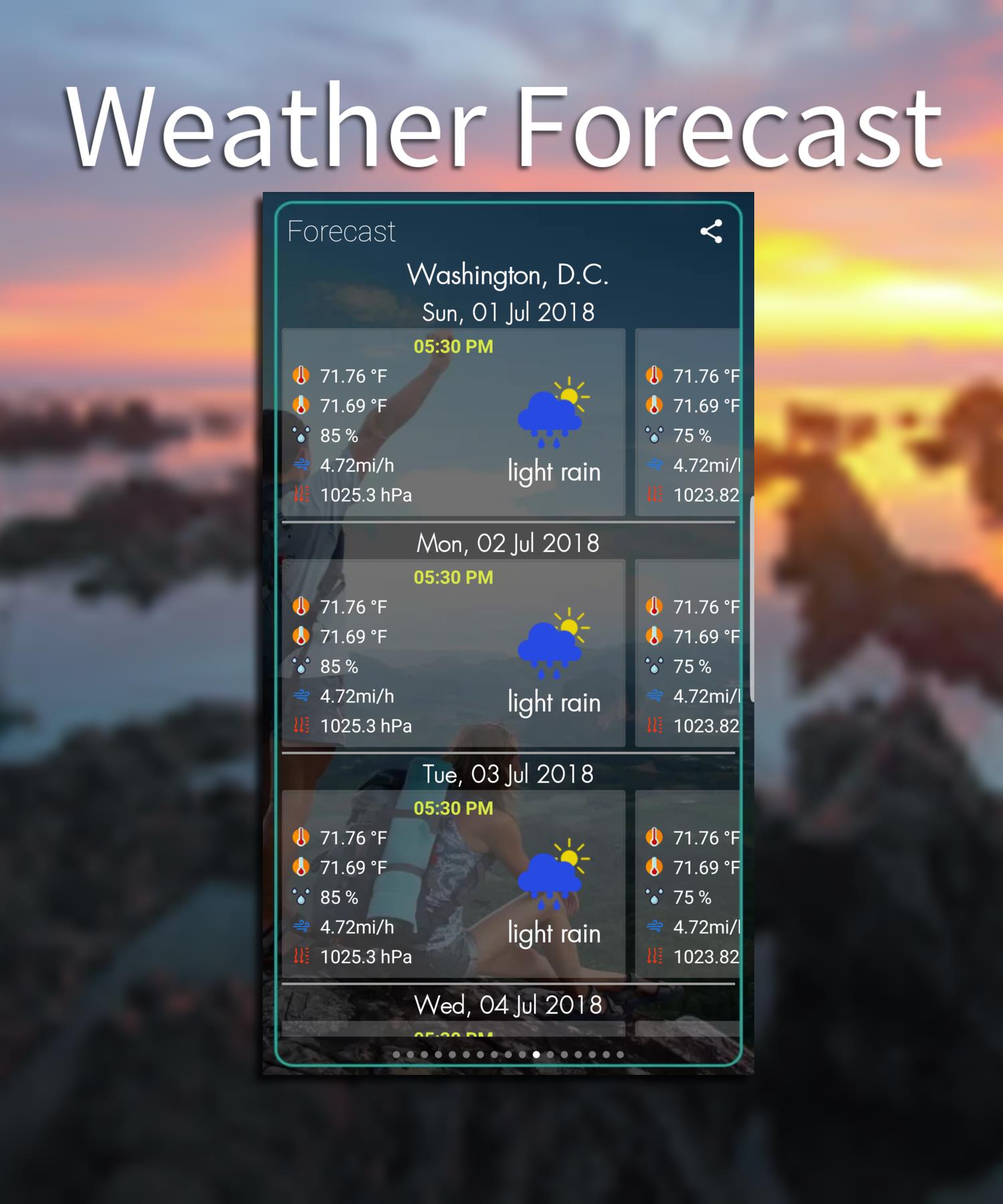
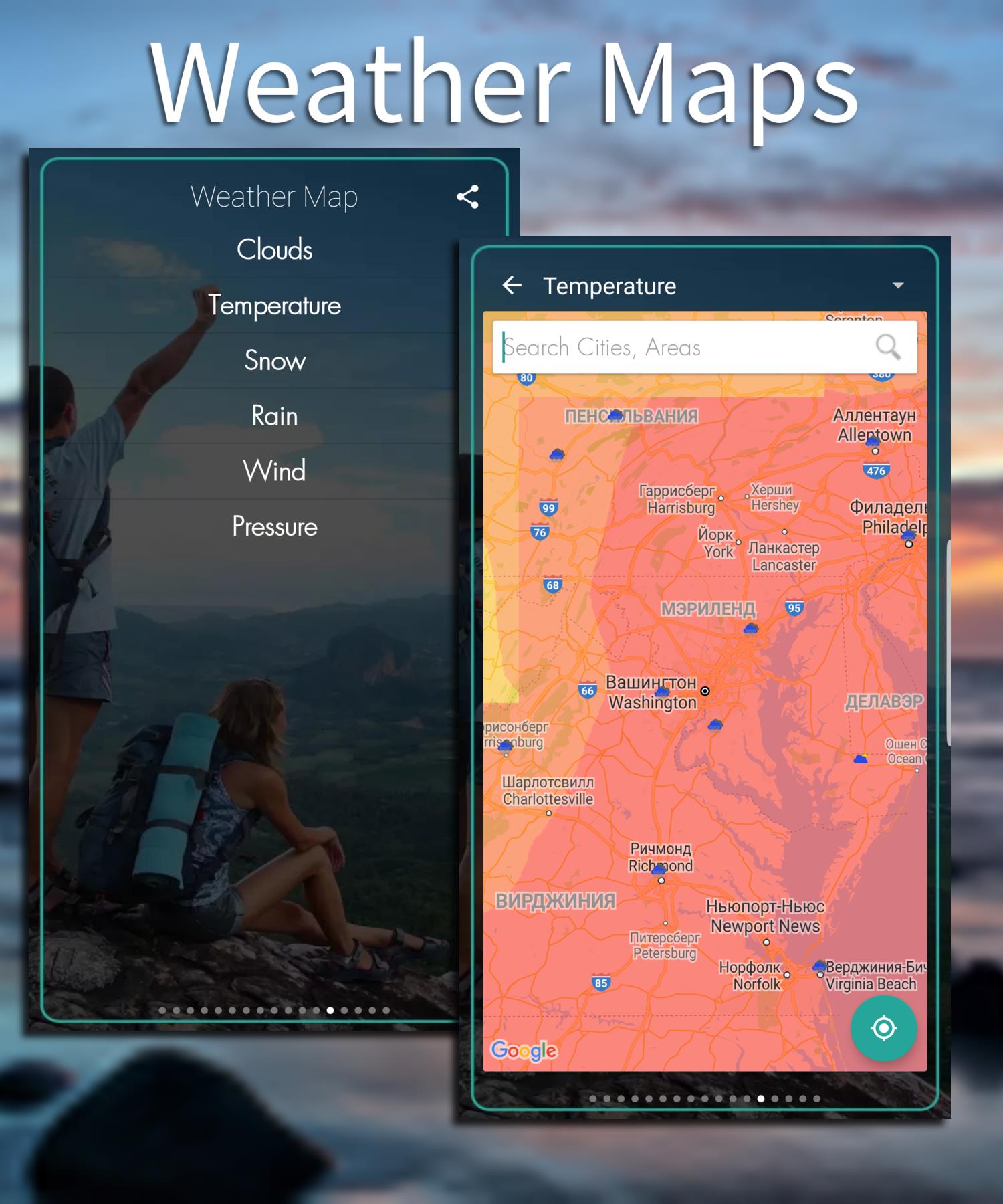
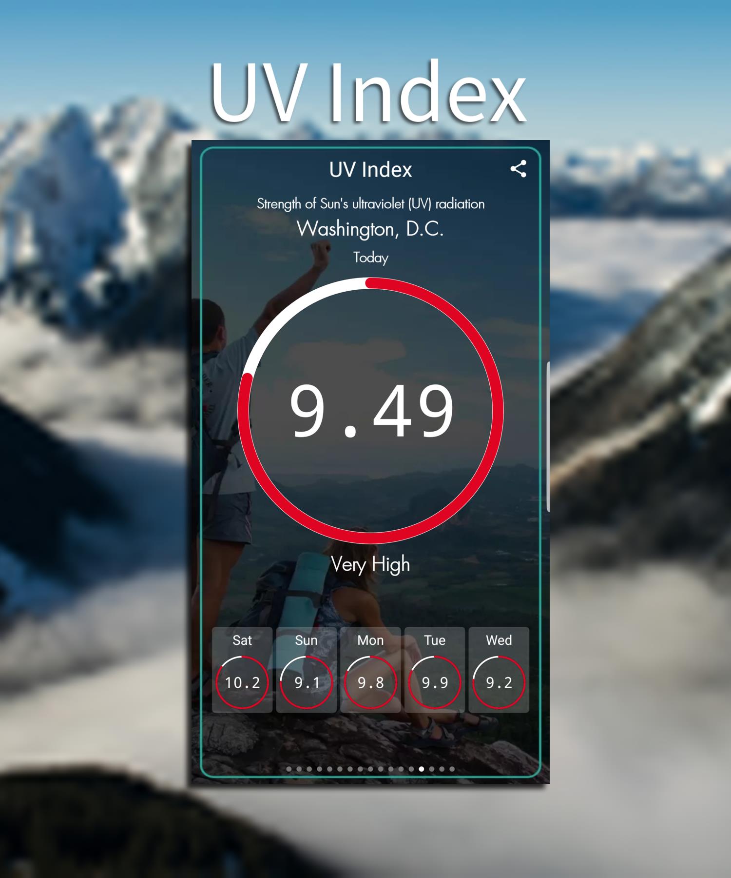
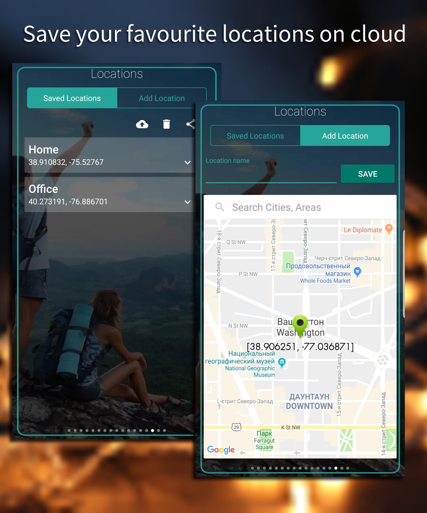
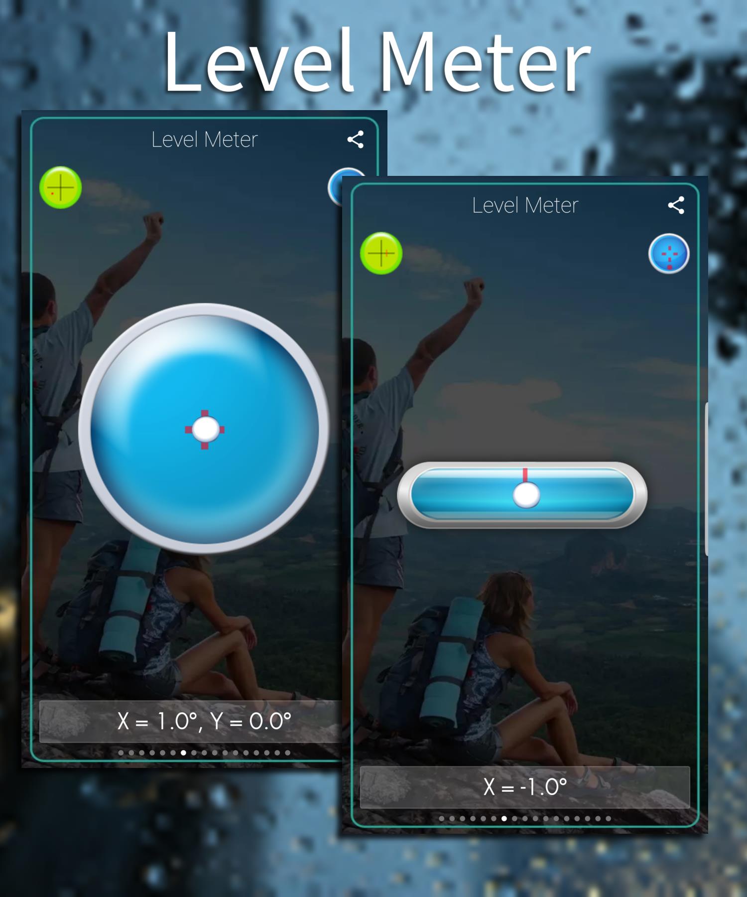

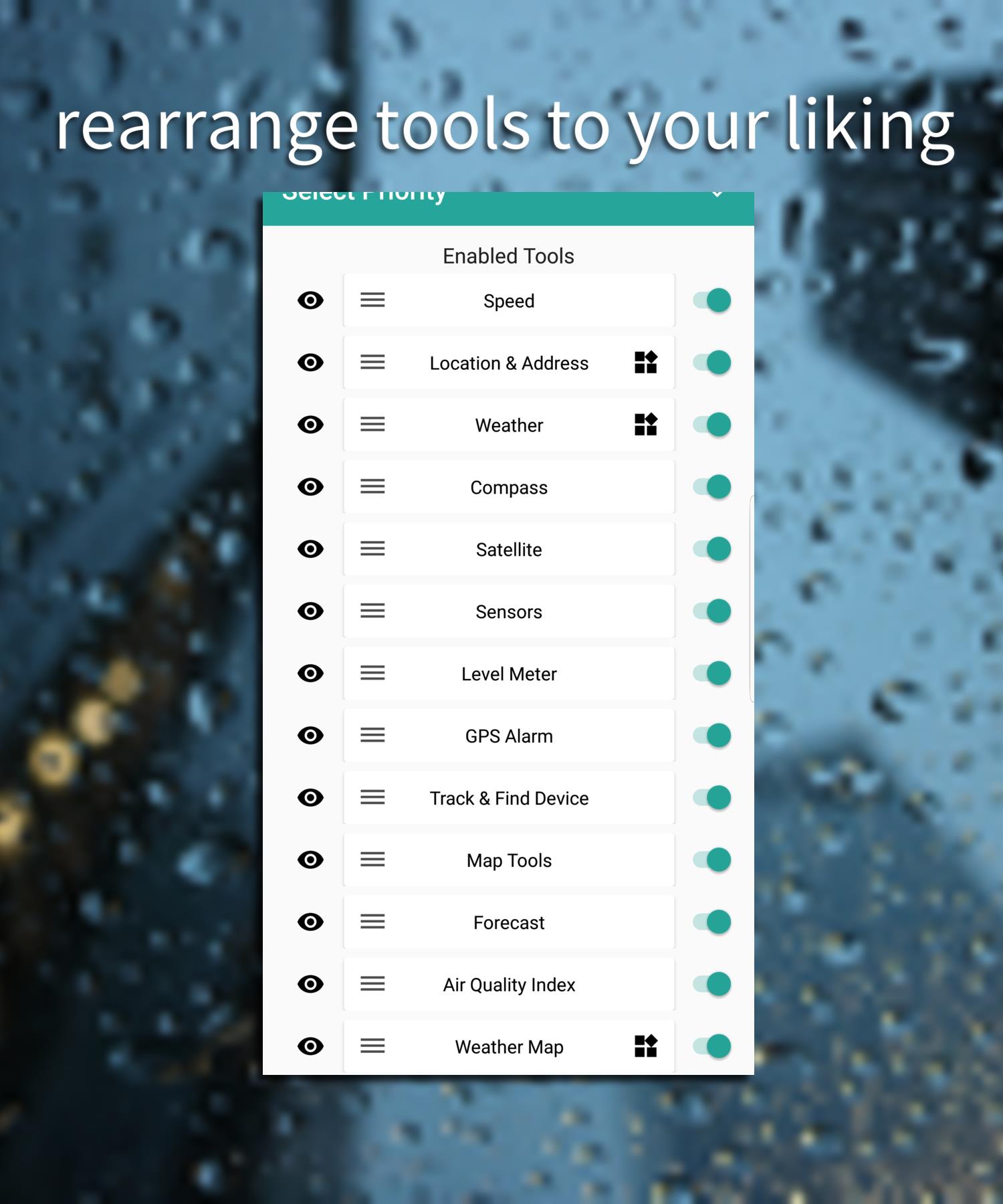
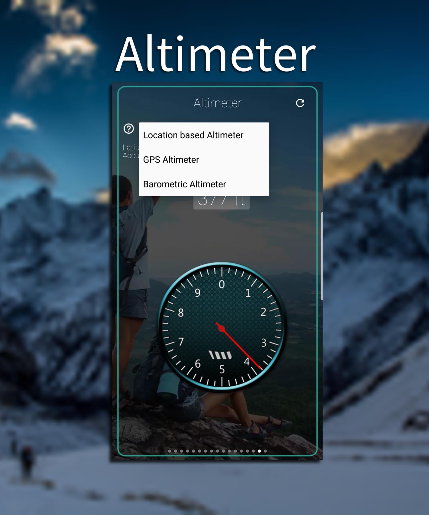
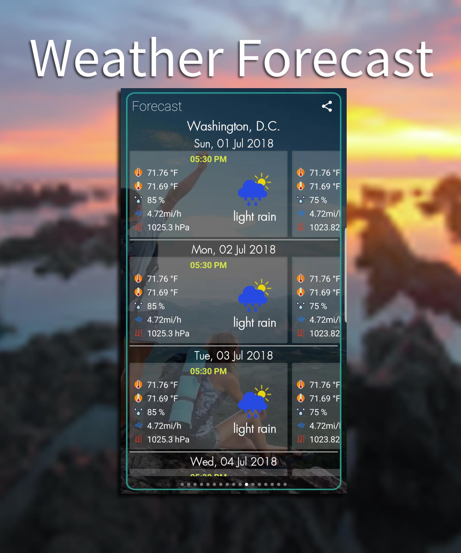
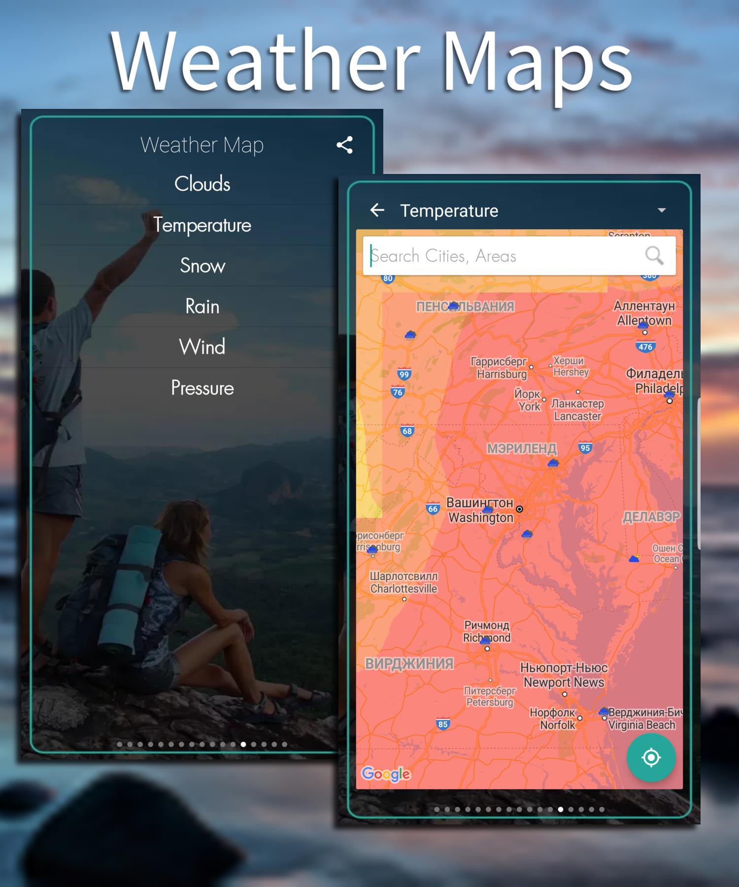
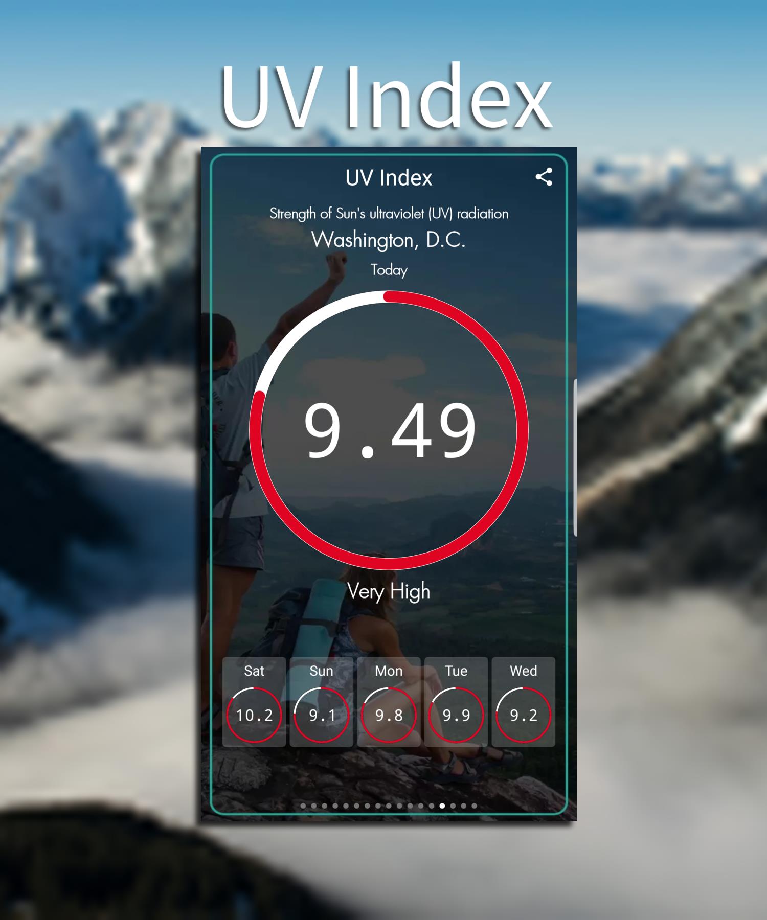
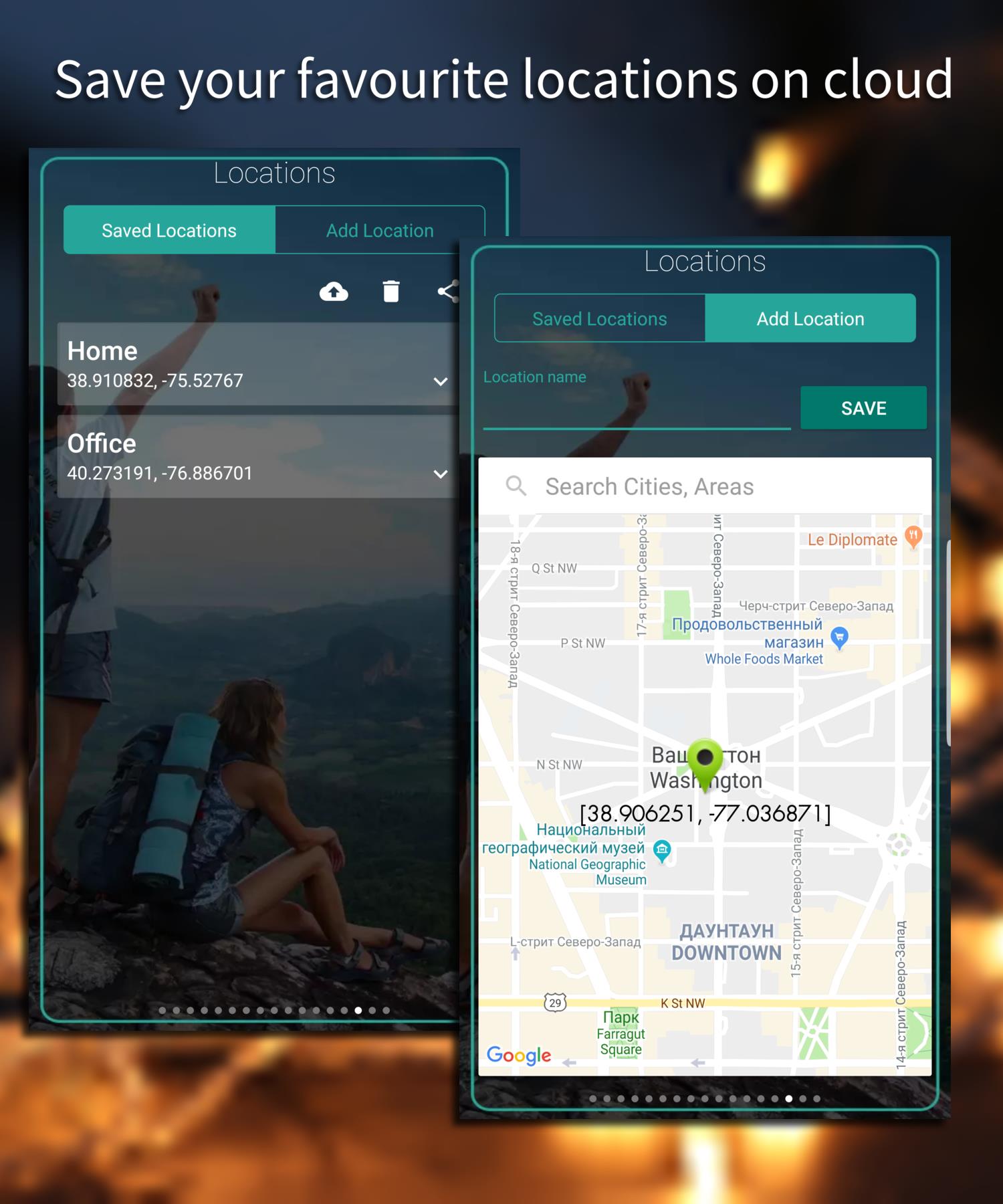
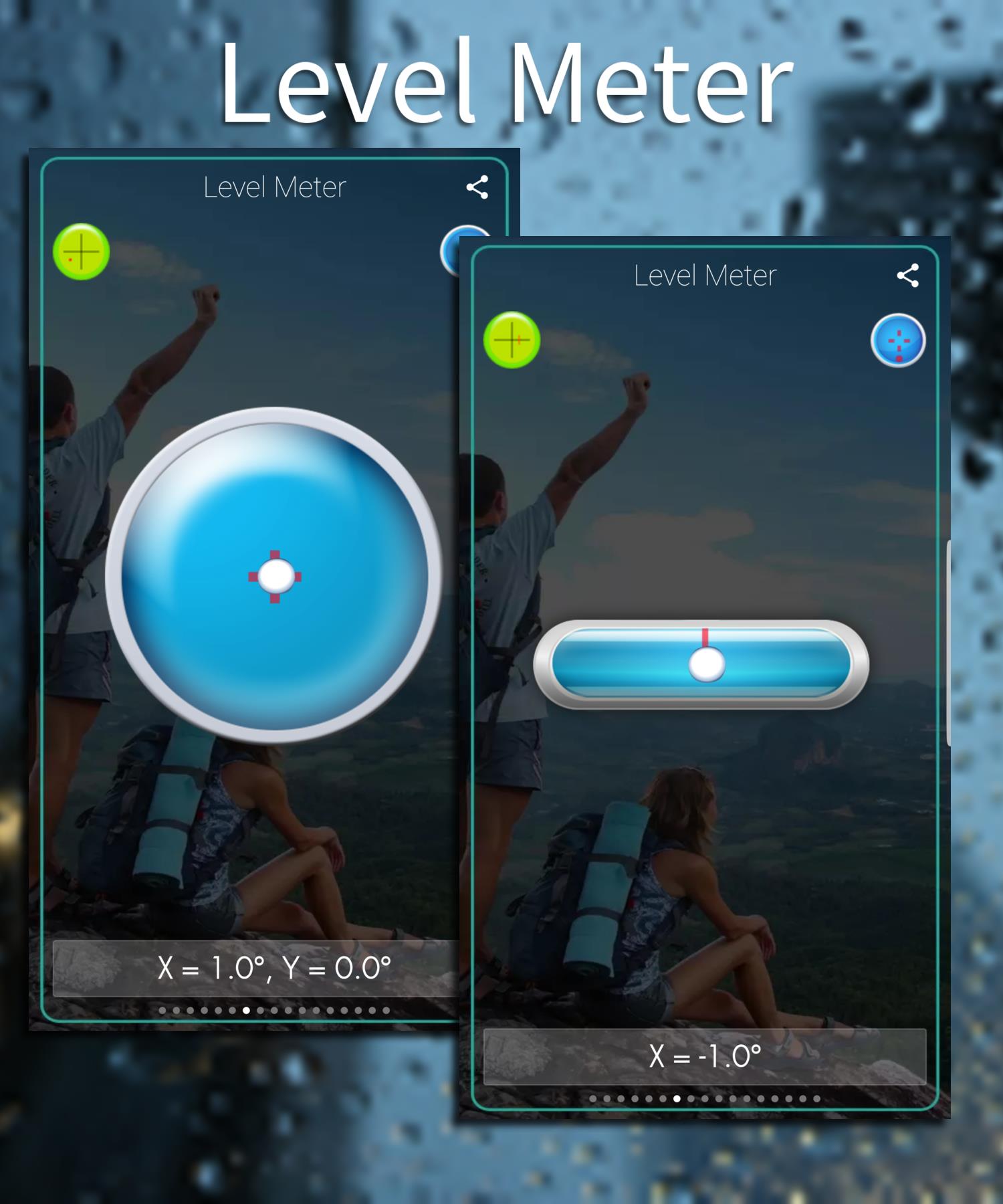

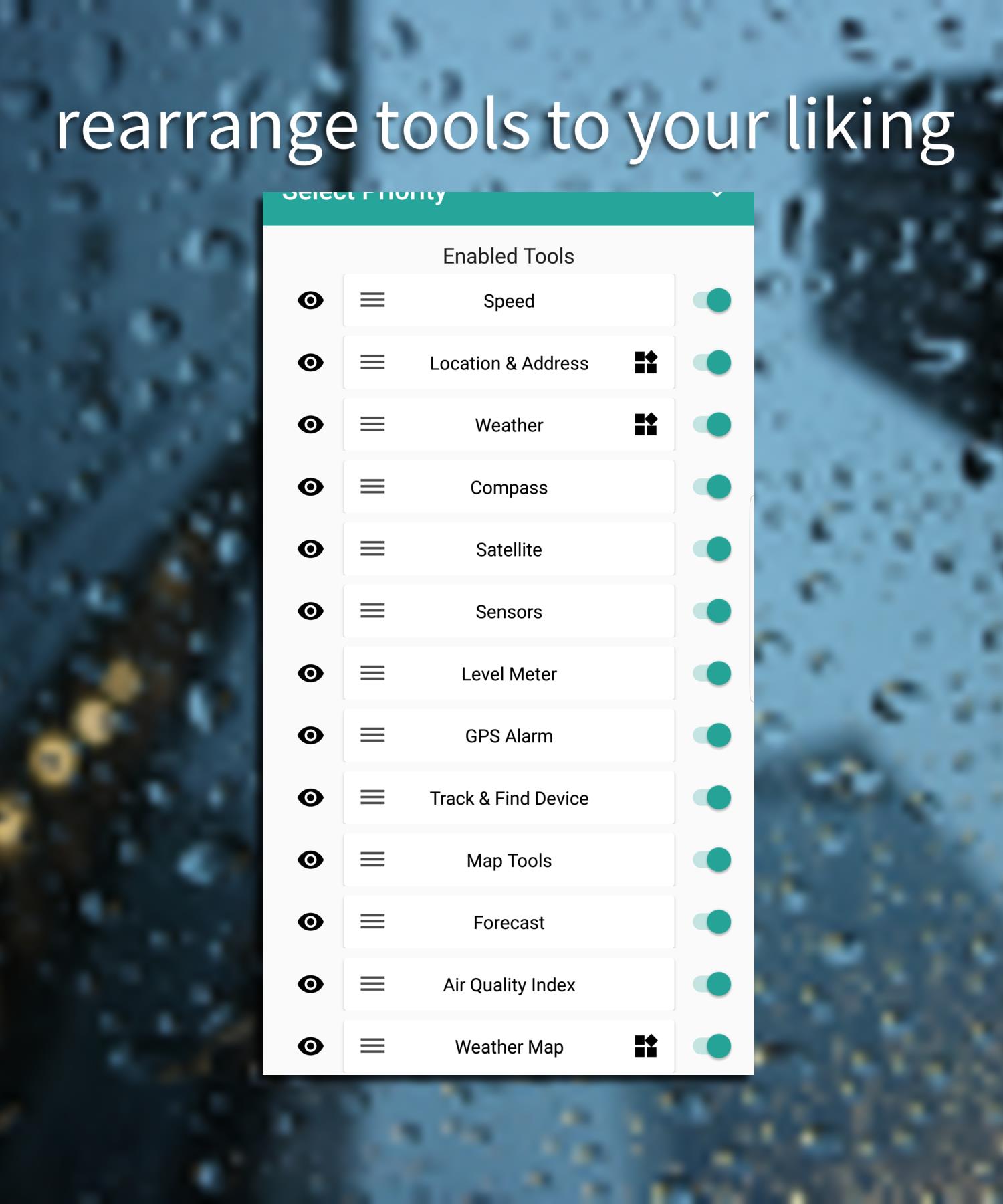
GPS Tools is a compact utility suite that turns your Android device into a precision navigation and diagnostics hub. It bundles signal monitoring, coordinate tools, and route utilities into one app, helping travelers, field workers, and hobbyists manage location data with clarity and minimal setup.
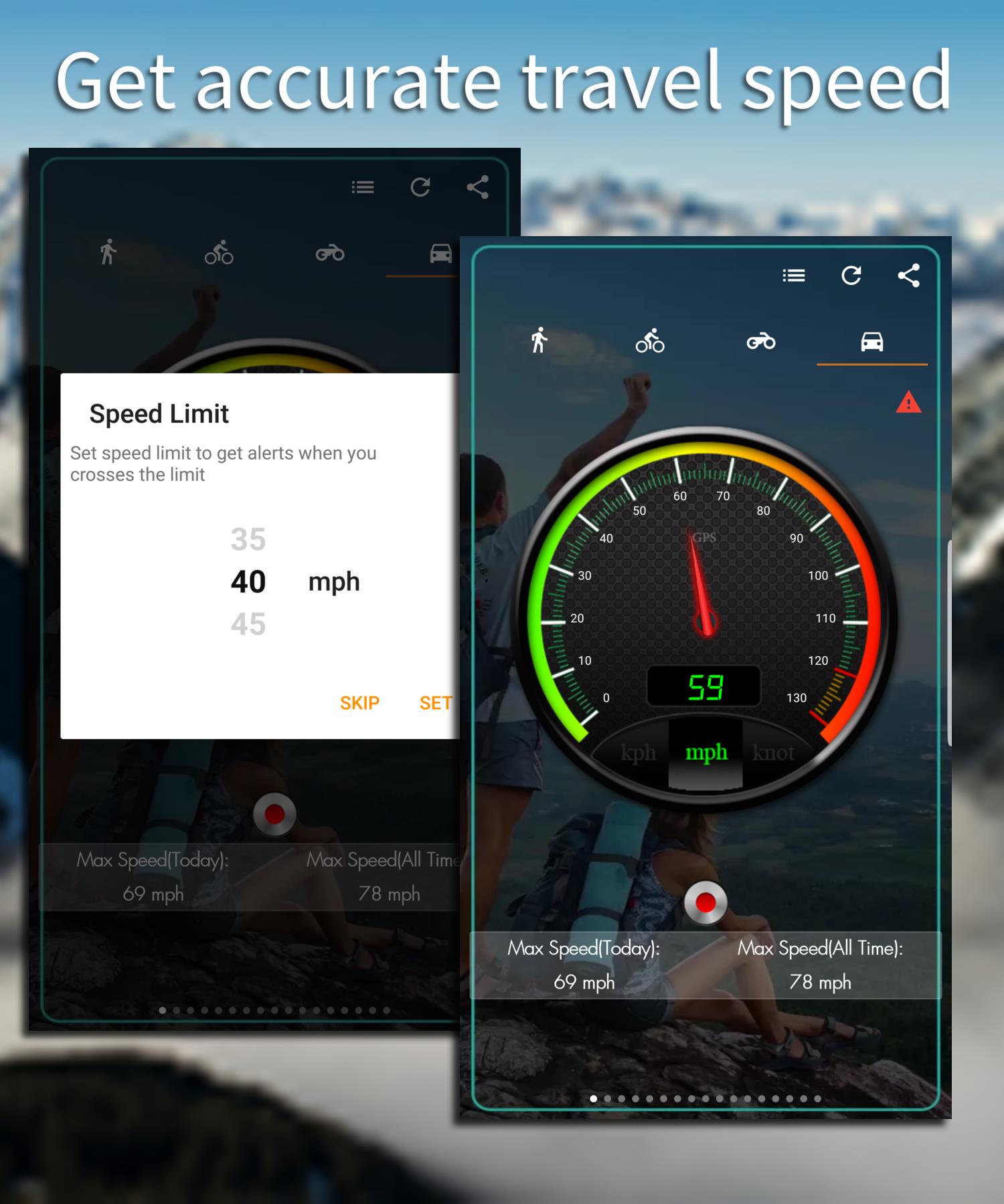
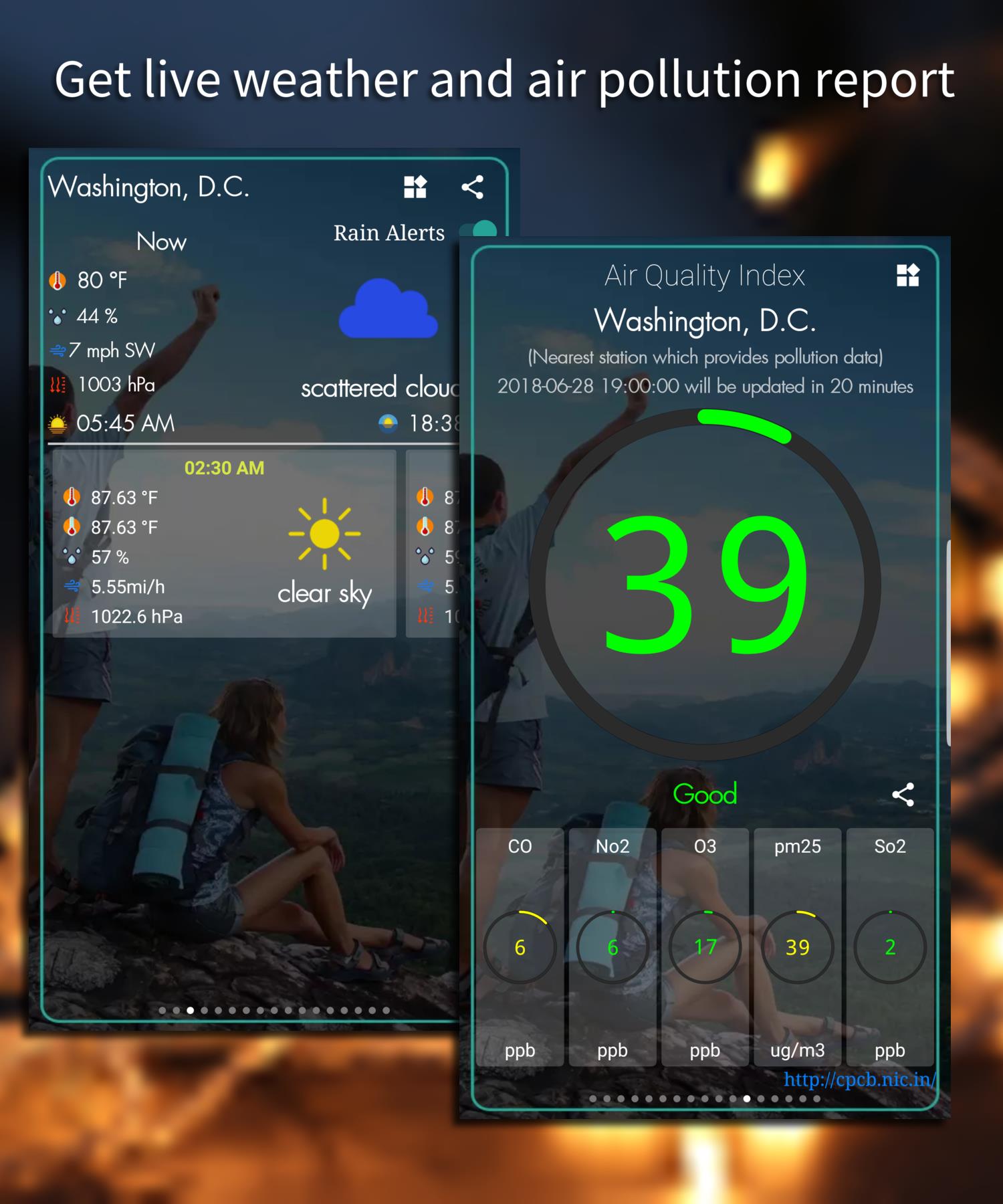
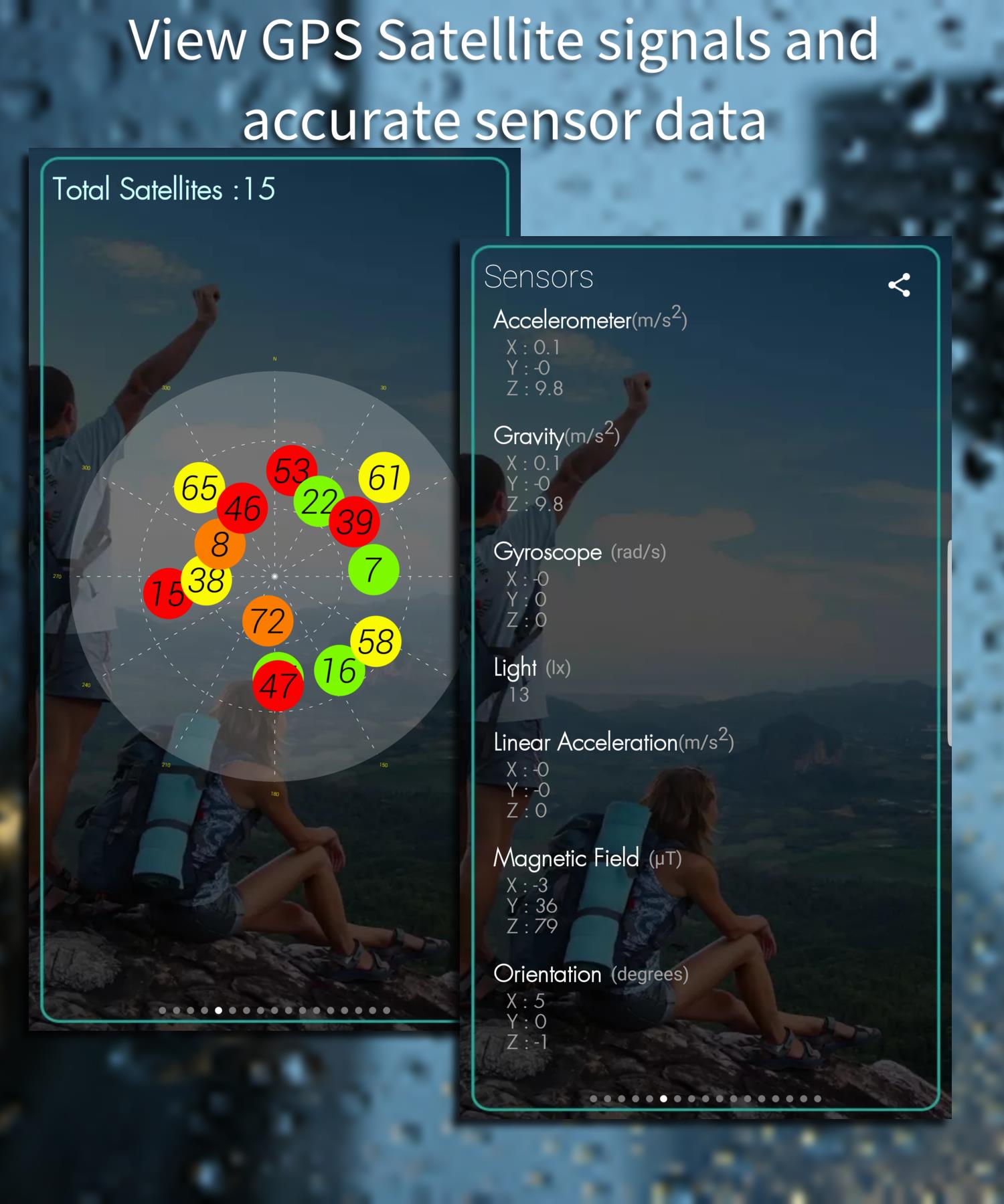
At its core, GPS Tools collects and visualizes location-related information. The app presents satellite status, current coordinates, speed, altitude and accuracy metrics in an accessible format. Designed for practical use rather than flashy visuals, GPS Tools focuses on delivering reliable readings and exportable data for troubleshooting and planning.
The feature set covers the basics and some advanced options that make GPS Tools useful across professions:
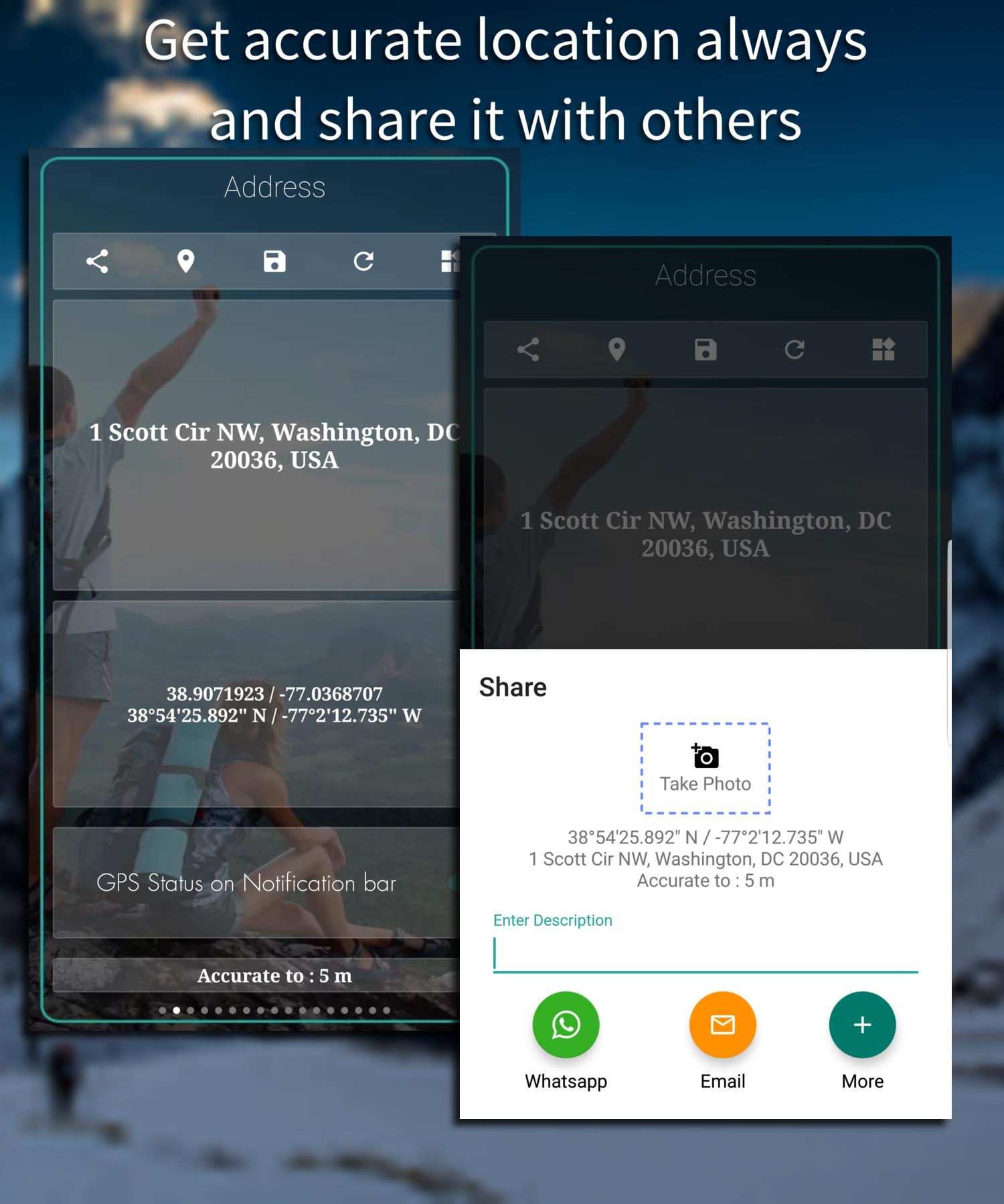
GPS Tools runs with minimal permissions and a clean interface. On first launch, it asks to access device location and only requests storage when you export logs. The app displays live values and a concise status panel: number of satellites used, horizontal accuracy, and your current coordinate string. Tap any reading to copy it to the clipboard or to open it in a mapping app.
The UI favors clarity: large numbers, color-coded accuracy indicators, and compact controls. Because the app focuses on utility, animations are limited and background resource usage is modest. GPS Tools performs well on mid-range devices and remains responsive while recording long sessions. Battery impact depends on sampling frequency, which you can adjust in settings.
For surveyors, field technicians, or outdoor guides, the app includes calibration checks and an NMEA log viewer. These tools help verify external GNSS receivers and compare device-reported positions to expected values. Combined with export functionality, GPS Tools becomes a practical data collection companion for field reports and incident logs.
Begin by enabling high-accuracy location mode on your device. Open GPS Tools and allow the requested permissions, then wait a few moments for satellite acquisition. Use the coordinate widget to pin your location and the route recorder if you plan to track a movement session. Export a short GPX file after a test run to confirm compatibility with your mapping workflow.
To maximize precision when using GPS Tools, follow a few simple practices: stand away from tall buildings or heavy tree cover while acquiring satellites, keep your device stationary for a moment when noting coordinates, and use external receivers if you require centimeter-level accuracy. Lowering the sampling rate in long sessions reduces battery drain without sacrificing useful detail.
Whether you are capturing waypoints on a hike, validating a vehicle’s reported route, or collecting location evidence for a field report, GPS Tools adapts to the task. Its compact toolkit works well for quick checks and extended data logging alike. Users often pair it with mapping or GIS applications to enhance visualization and analysis.
GPS Tools stands out for its practical approach: each control has a clear purpose, and the export options make it easy to move data into other platforms. The balance of straightforward presentation and advanced logs satisfies both newcomers and professionals who need dependable, inspectable GPS readings.
Installation is straightforward from the Android store, requires minimal setup, and the settings panel helps tailor sampling, display units, and file formats. If you need a focused GPS utility that avoids unnecessary complexity, GPS Tools provides a compact, dependable solution.