
奥维互动地图
Version: 2.0.23
76.20MB
4
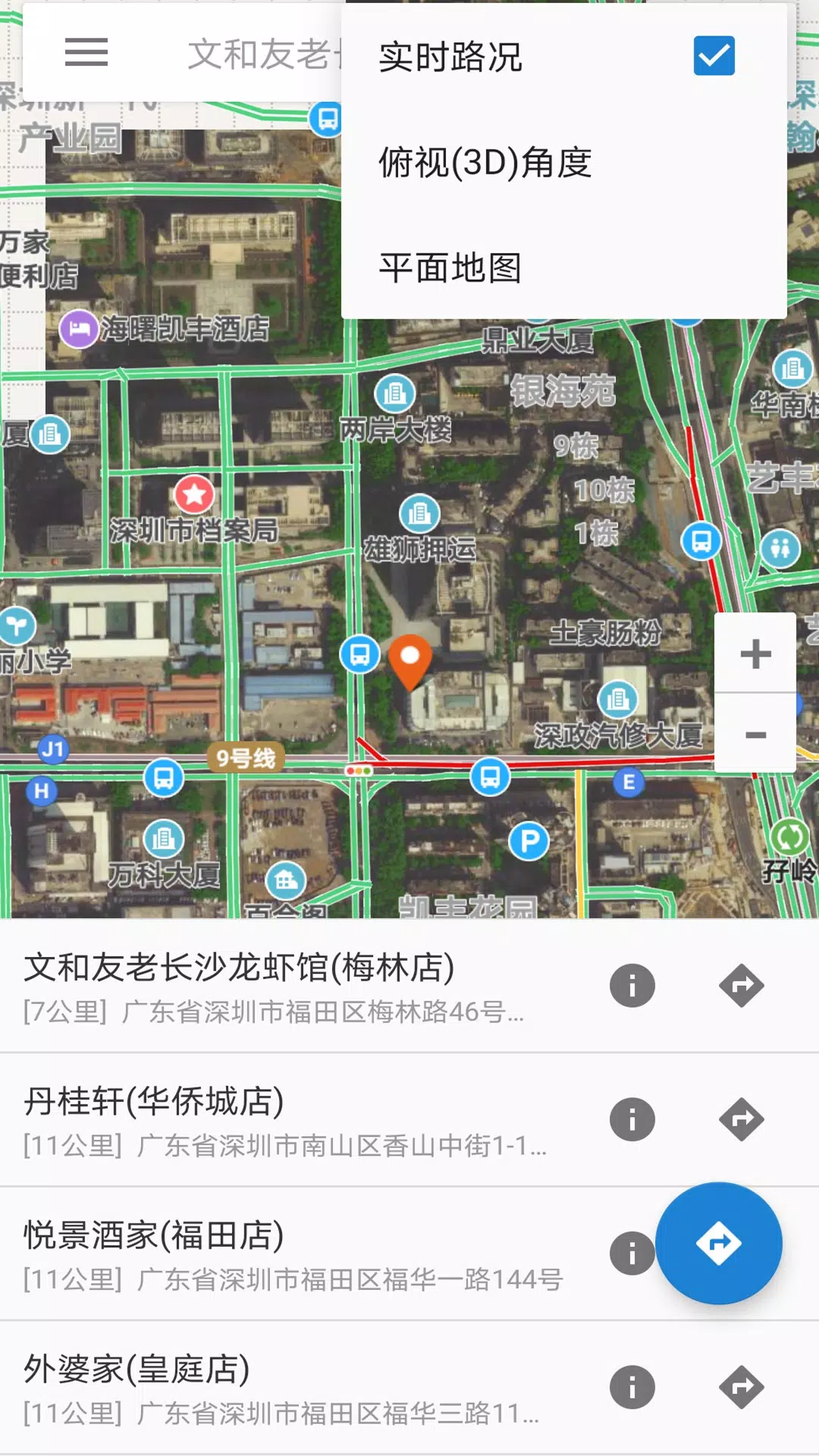
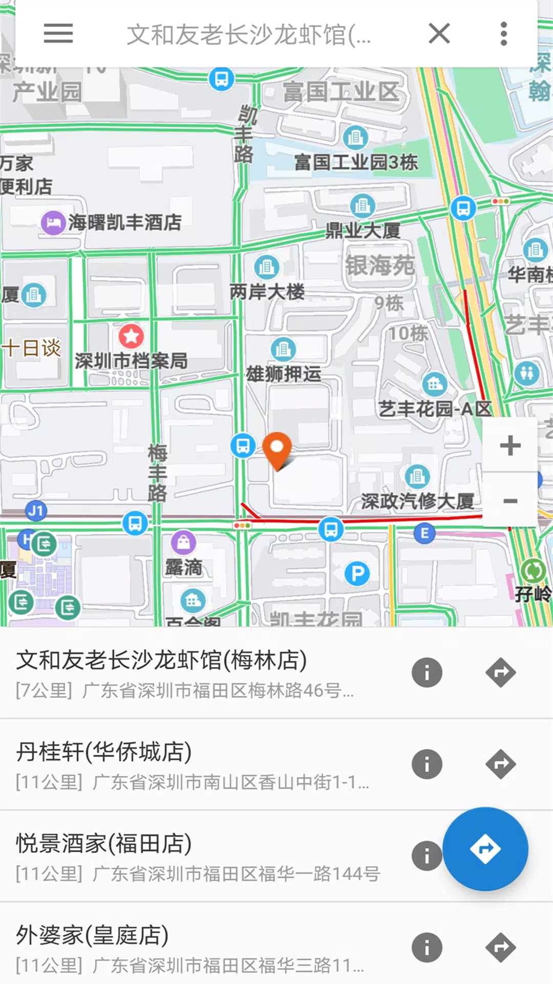
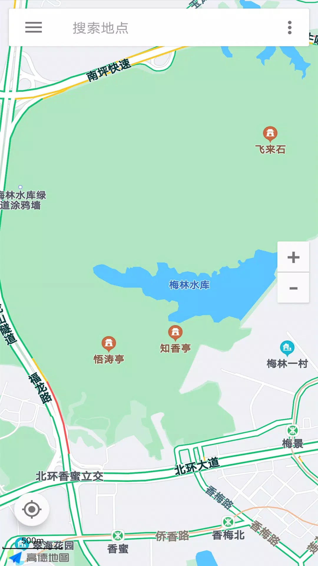
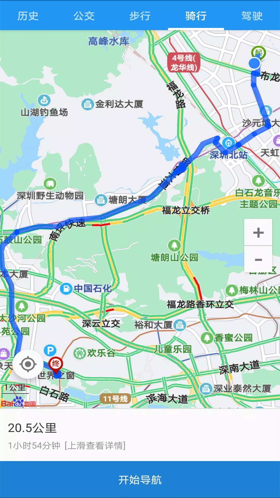
奥维互动地图 is a powerful mobile mapping app that combines offline maps, multi-format data support, and intuitive tools for planning, navigation, and fieldwork. Designed for outdoor enthusiasts and professionals alike, it makes route creation, layer management, and geographic data collection fast and reliable on Android devices.
At its heart, 奥维互动地图 provides a flexible map engine that handles online and offline tiles, vector layers, and raster imagery. Users can import standard GIS formats, overlay multiple map sources, and switch coordinate systems without interruption. The app supports high-resolution basemaps and lets you cache large areas for use when there’s no network connection.
Import and export tools are designed for compatibility with common workflows. The app reads GPX, KML/KMZ, SHP, CSV and other popular spatial formats. Exported routes, waypoints, and tracks retain metadata and timestamps so they can be reused in desktop GIS software. Batch operations streamline transferring multiple files and converting coordinate projections.
Built-in navigation assists both casual users and field teams. Route planning features include waypoint editing, elevation profile previews, and estimated travel times based on mode of transport. Real-time positioning with optional GPS smoothing makes following a planned course easier, and turn-by-turn prompts can be enabled for walking, cycling, or driving.
Layer controls let you stack imagery, topographic maps, and custom overlays. Each layer can be toggled, reordered, or styled to emphasize specific information. Symbol sets and label options help differentiate features on crowded maps, while opacity and blending modes make it simpler to compare datasets visually.
Tools for collecting points, lines, and polygons allow for quick capture of field observations. Custom attribute forms can be created to record photos, text notes, and numeric values alongside spatial features. Automatic timestamping and device-location tagging ensure entries are accurately linked to place and time.
The interface balances functionality with accessibility. Common functions are reachable through a main toolbar while advanced options reside in contextual menus. Map gestures are responsive, and a customizable quick-access panel lets you pin favorite tools for one-tap use. Workflows for importing, editing, and exporting are linear and minimize repetitive steps.
奥维互动地图 is optimized for Android hardware ranging from mid-tier phones to dedicated tablets. Map tile caching and incremental data loading reduce memory strain, and background processing handles large file conversions without freezing the UI. The app supports external GPS receivers and integrates with device sensors for accurate heading and elevation readings.
Advanced users can tailor the experience with custom map sources and scripting extensions where available. Support for user-defined styles and preset templates speeds up recurring tasks like field surveys or route inspection. Community-contributed resources often supply additional base maps and symbol libraries.
Built-in sharing options make it straightforward to distribute maps and tracks. Export files or share direct links to saved map views with team members. For collaborative projects, synchronized layers and cloud backups preserve changes and prevent data loss during long-term field campaigns.
Whether you need a mobile atlas for outdoor adventures, a reliable tool for survey work, or a flexible platform for GIS tasks, 奥维互动地图 delivers many of the features professionals expect in one package. Explore its settings and templates to adapt the app to your specific mapping requirements and save time on repetitive tasks.