
QLD Fishing 2.0
Version: 2.3.0
13.30MB
4.4
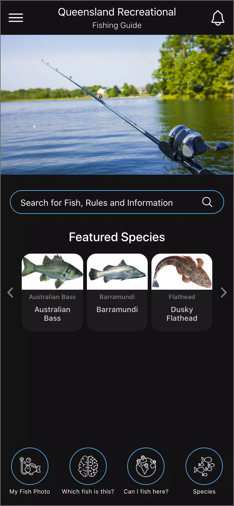
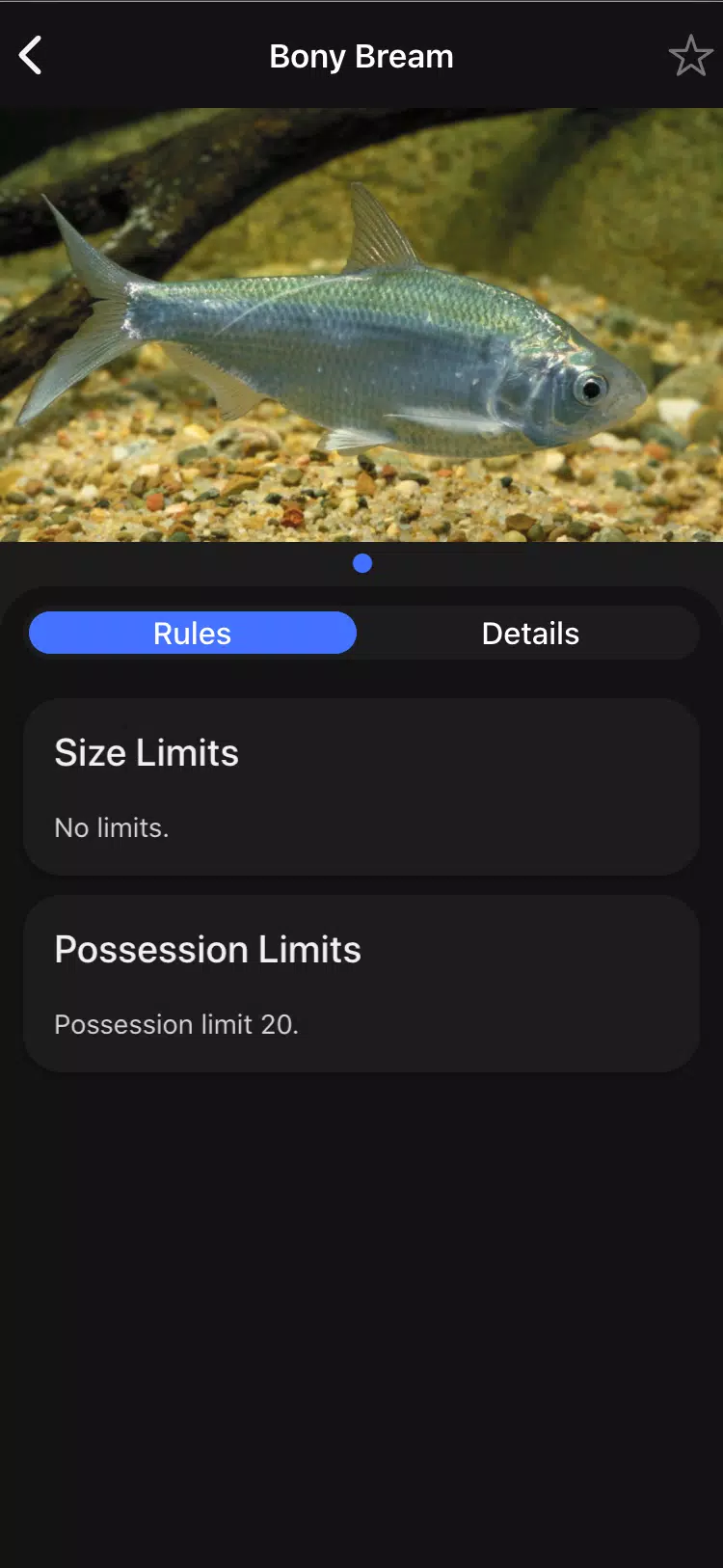
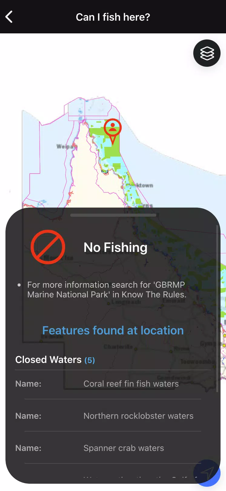
QLD Fishing 2.0 is a comprehensive, user-friendly mobile tool that puts Queensland's recreational fishing rules and species information in your pocket. QLD Fishing 2.0 helps residents and visitors fish legally and responsibly by combining searchable species profiles, possession and size limits, and location-aware maps. With QLD Fishing 2.0 you can check seasonal closures, access Fisheries Queensland contacts, and get practical guidance whether you are planning a day trip or fishing in a remote spot.
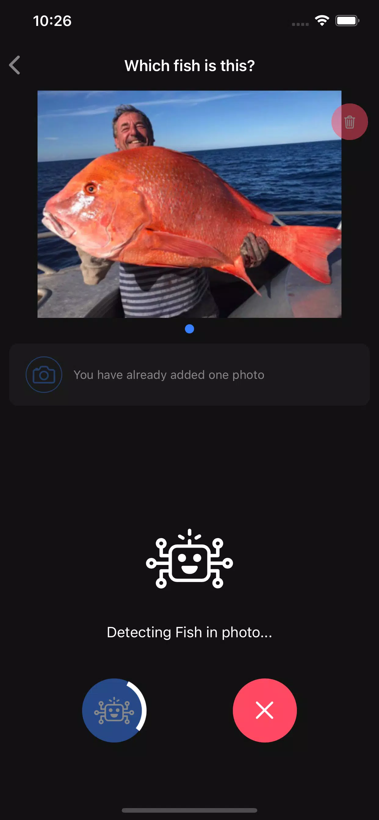
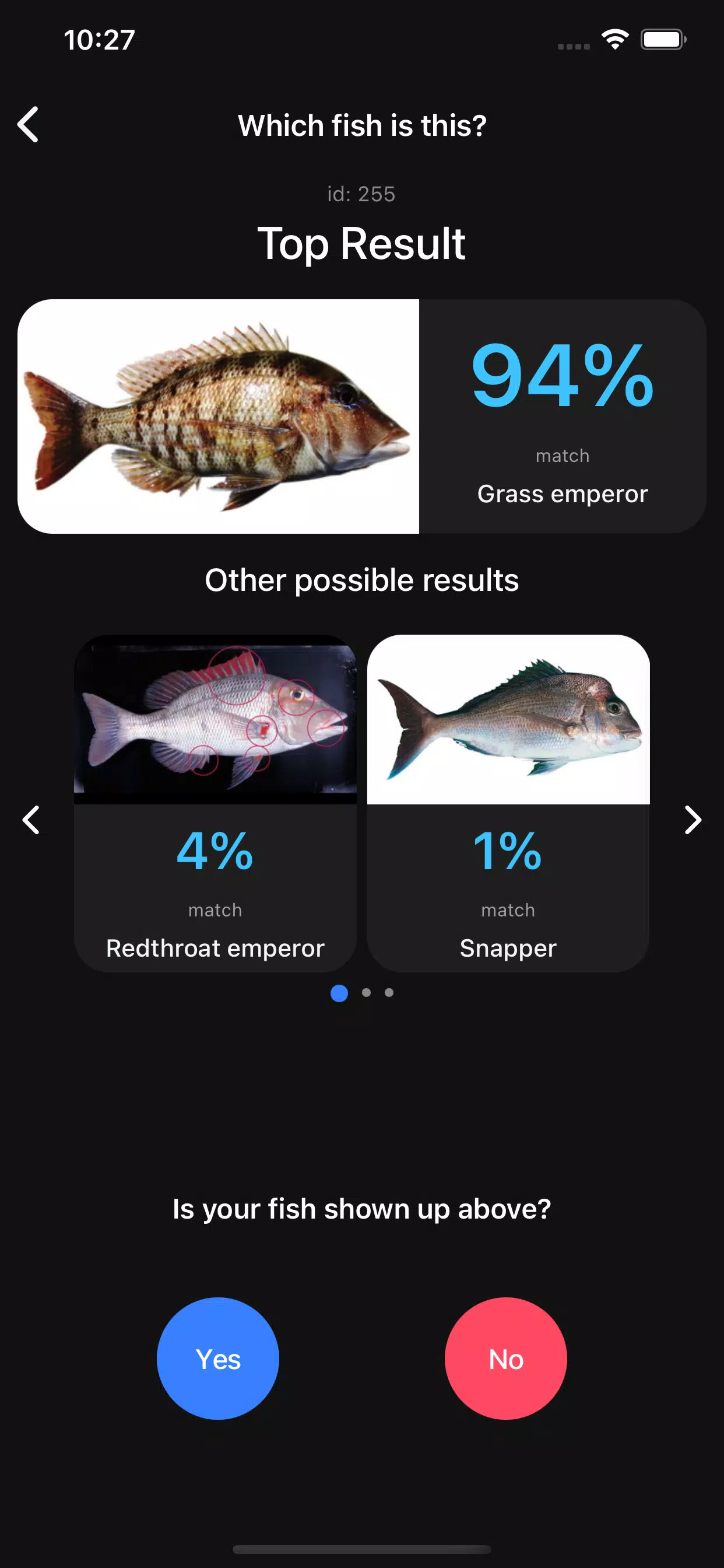
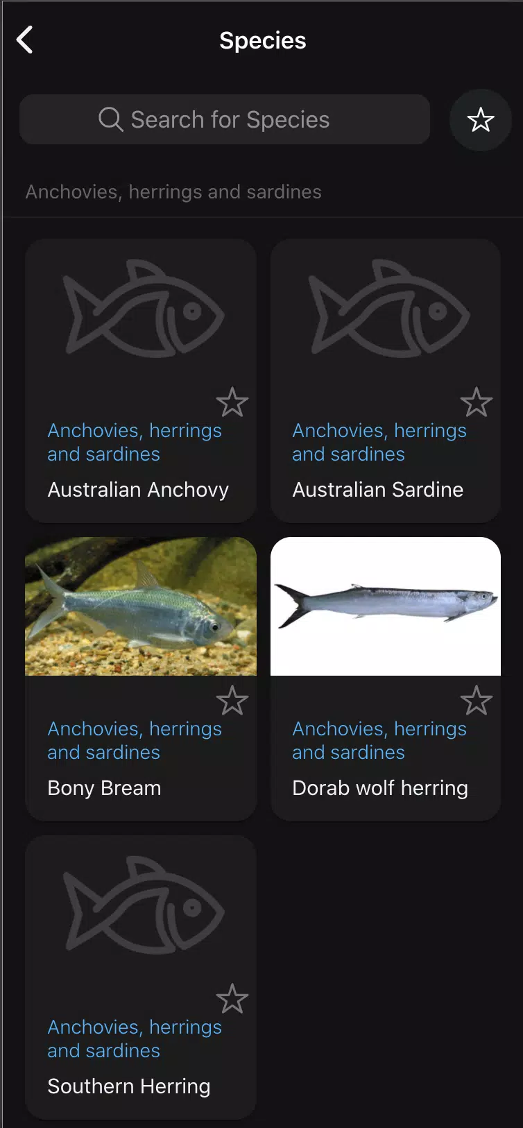
This app provides a single, searchable regulations database with current possession and size limits, species profiles that include common and scientific names, and spatial mapping that makes area-specific rules easy to understand. The integrated AI-assisted Fish ID accepts photos and offers likely identifications for several common Queensland species, while ageing tools provide approximate age estimates where available. Notifications keep you informed about seasonal closures and alerts, and built-in links connect directly to Fisheries Queensland and the FishWatch hotline for reporting concerns or seeking clarification. Permit purchases are routed to the official sales system when required, and cached content enables offline access to essential information.
The interface is designed for quick lookups: type a species name or partial name into the search field, filter results by habitat or size class, or tap the map to see local rules for your current GPS location. Map gestures let you pan and zoom to inspect spatial layers, and an optional location permission enables automatic area checks while you are on the water. For identification, use the camera or an existing photo to request an AI-assisted match; the app grades confidence and shows similar species for comparison. Notifications and preferences are controlled from a settings area so you can tailor alerts to your preferred regions or species.
Rather than game-like progression, the app offers a practical progression in usefulness as you personalize settings and build familiarity with local regulations. Save frequently checked species to a favorites list, subscribe to closure alerts for particular waterways, and keep a concise history of the lookups you have performed so that repeated checks become faster. These personalization options help users reduce accidental non-compliance and streamline trip planning over time.
The visual design emphasizes clarity and legibility: maps use high-contrast layers to distinguish management zones, and species pages combine photos with concise identification tips and scientific names to aid recognition. Online map layers include more detailed boundaries and overlays, while offline maps are simplified for performance and reduced data use. Imagery and icons are kept minimal to avoid clutter so information remains accessible during quick, on-the-water checks.
Settings offer basic customization for font size and notification frequency to improve readability and reduce distraction. Text descriptions use plain language with scientific names provided for precision, making the app useful for both casual fishers and more experienced anglers. Controls are sized for outdoor use on devices that may be wet or used with gloves, and core content is designed to be navigable with minimal tapping so users can operate the app safely while handling gear.
Recognizing that many fishing spots have limited connectivity, QLD Fishing 2.0 caches species pages and simplified map tiles for offline use. Cached content includes essential possession and size limits, basic identification images, and previously loaded area rules. When connectivity is restored the app refreshes regulatory data and maps to ensure you have the latest information, but the offline mode is intentionally pared back to conserve storage and maintain responsiveness in the field.
The app is built to support compliance rather than to replace professional advice. Notifications about seasonal closures and area-specific restrictions act as a practical challenge system to help you avoid breaches, and the mapping layer highlights restricted zones. Because AI-based identification and ageing tools have limits, the app always encourages cross-checking with the official Fisheries Queensland guidance and reporting any suspected breaches or uncertainties via the FishWatch hotline link.
AI Fish ID currently covers a limited set of common species and may not identify every catch, and ageing tools provide approximate estimates rather than precise ages. Offline maps are simplified and do not include all online layers, and regulatory summaries in the app are not a substitute for official legislation. For the most authoritative guidance, users should consult Fisheries Queensland resources linked within the app and follow permit processes through the official sales channels.