
Description
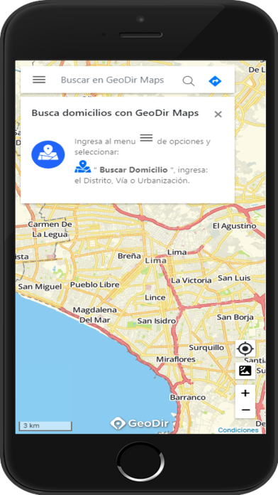
Geodir Maps revolutionizes field operations with its powerful tracking and optimized routing features. This app is a game-changer for businesses that rely on field personnel, as it streamlines work processes and boosts productivity. With it, you can effortlessly plan routes, ensuring that your team takes the most efficient paths to their destinations. Plus, its advanced geolocation technology allows you to track your field staff in real-time, ensuring they're always on track. With benefits like faster response times, improved data capture, and increased productivity, it is the ultimate solution for businesses looking to excel in their field operations.
Features of Geodir Maps:
> Enhanced Productivity: Geodir Maps is specifically designed to increase the productivity of field personnel. With its tracking and optimized routing features, this app streamlines work processes and reduces time wastage. By automating field operations through mobile technology, it helps field personnel to work more efficiently and achieve higher productivity.
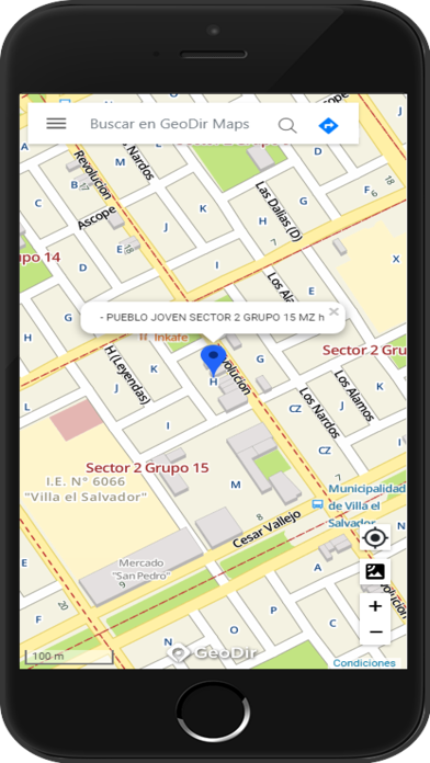
> Time Optimization: One of the key benefits of it is the optimization of times. With its advanced routing capabilities, this app helps field personnel plan their routes more effectively, minimizing travel time and avoiding unnecessary detours. This time optimization feature ensures that field personnel can complete their tasks in a timely manner, maximizing their productivity.
> Improved Performance Indicators: Another major advantage of it is the increase in main productivity indicators. By providing real-time data and insights, this app enables field personnel to make data-driven decisions and perform their tasks more effectively. It helps them to identify areas for improvement and optimize their performance, leading to increased productivity and better results.
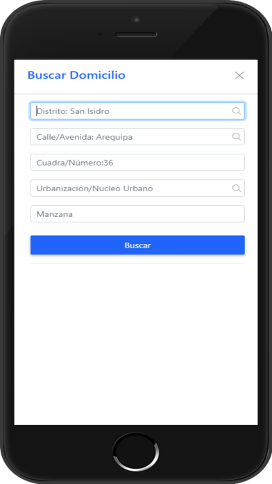
> Efficient Data Capture: Geodir Maps simplifies the data capture process for field personnel. With its mobile technology, this app allows them to quickly and accurately capture important information while on the field. This eliminates the need for manual data entry and reduces the chances of errors or delays. The efficient data capture feature not only saves time but also ensures the accuracy and reliability of the collected data.
FAQs:
> Is it suitable for all types of field personnel?
Yes, it is a versatile application that can be used by field personnel from various industries such as delivery services, utility companies, sales teams, and more. Its flexible features and customizable options make it suitable for different field operations.
> Can it track the location of field personnel in real-time?
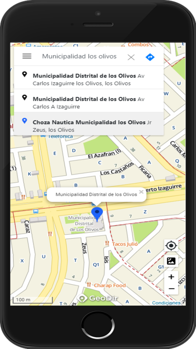
Yes, it includes geolocation tracking capabilities that allow real-time monitoring of field personnel. This feature not only helps managers to track their team's progress but also enables efficient dispatching and route planning.
> Does it require an internet connection to function?
Yes, it relies on an internet connection to access maps, routing calculations, and real-time data syncing. However, it also offers offline functionality, allowing field personnel to continue working in areas with limited or no internet connectivity. The app syncs data automatically once the connection is restored.
Conclusion:
Geodir Maps offers numerous benefits for field personnel. By optimizing times and work processes, increasing productivity indicators, and enabling efficient data capture, this app empowers field personnel to work more effectively. With its tracking and geolocation features, it provides real-time insights and ensures timely task completion. Whether it's route planning, data capture, or performance optimization, it is a valuable tool for enhancing field productivity. Download it now and experience the benefits yourself.
Information


